



Loch Lomond pilots combined planning and land use plan
 Reading time: 8 minutes
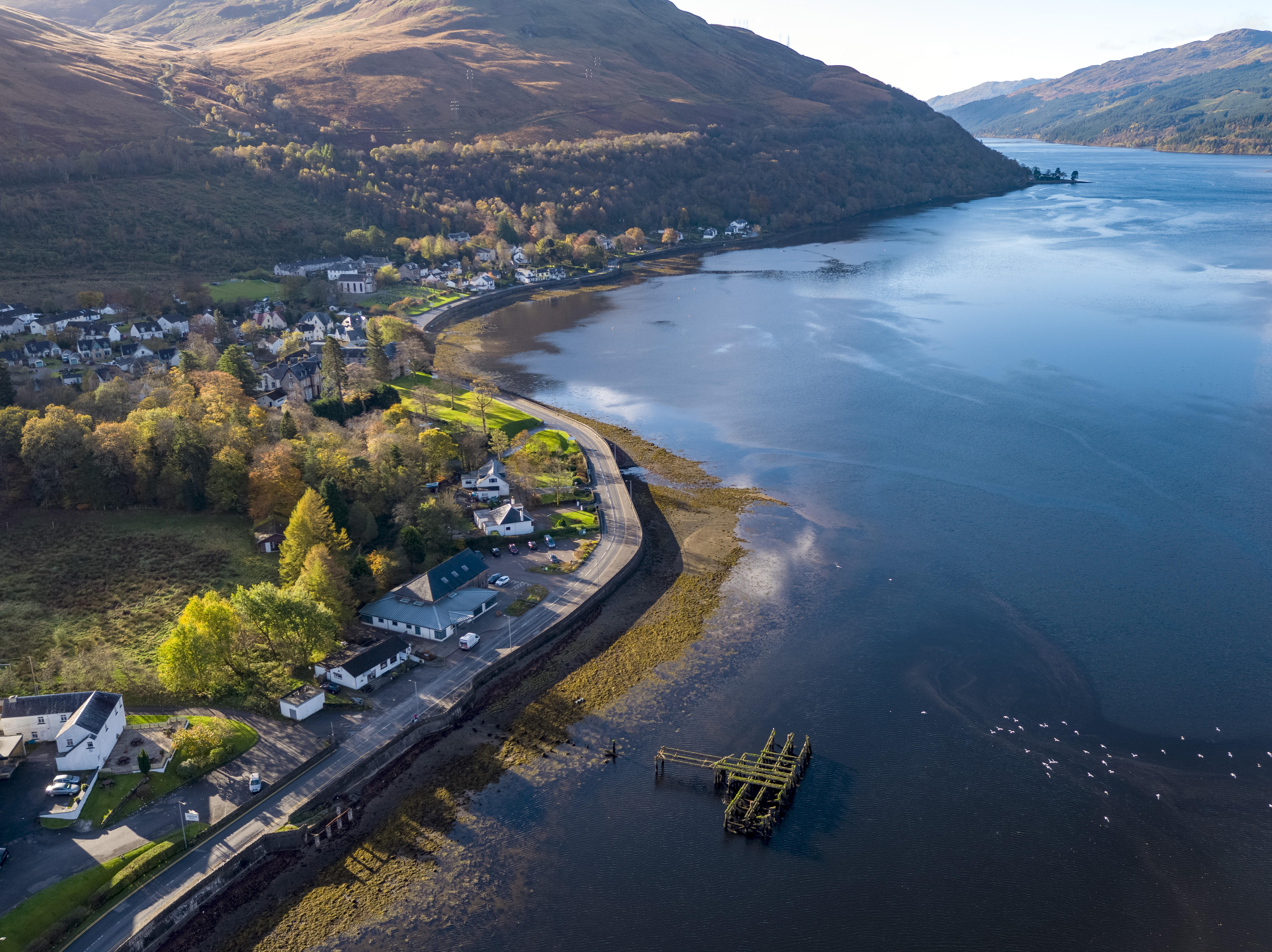
Loch Long, Arrochar (Image credit: Turkey Red Media)
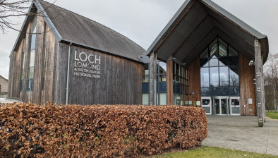
Loch Lomond & The Trossachs National Park Authority is the first planning authority in Scotland to bring planning and land use together under one integrated plan.
The new Local Development and Land Use Plan will set out not just where development should and shouldn’t happen, but also how land across the National Park could be used, managed and protected to ensure a climate resilient, nature positive future.
The pilot reflects the National Park Authority’s unique position to test new place-based approaches which seek to provide innovative support for communities, drive sustainable development and investment while also working to adapt and tackle the nature, climate and housing emergencies.

As the statutory planning authority for the National Park, the Park Authority has a legal duty to prepare a Development Plan guiding what happens where, including housing, business and tourism, while working to build and strengthen vital nature connections. From 2028, the new Plan will build on this duty by also setting out how land across the National Park could be used, and managed.
By bringing both processes together in one Plan, the Park Authority aims to trial an integrated approach to reduce duplication and make more efficient and effective use of public resources to guide decisions and investment while also unlocking new opportunities for sustainable development and land use for years to come.
Community priorities at heart of new approach
The Plan will be informed by Local Place Plans, community-led plans setting out what they want for their area, now in place for nearly every community in the National Park. This is being reinforced through a programme of informal, non-statutory engagement that runs to November 2026.
This engagement has included a public Call for Land, Sites and Ideas that invited suggestions on potential future development, land use and restoration. All submissions received from this call are suggestions only at this stage, publication on the National Park Authority website is for awareness only and is not indicative of any assessment of whether they are suitable for inclusion within the Proposed Plan.

Together with a series of local drop-in information sessions which will take place in the coming weeks, these strands are intended to ensure the process to prepare the Plan is transparent, clearly communicated, understood and takes genuine consideration of local communities’ priorities.
Information gathered through this informal engagement process will help inform the preparation of the Proposed Plan, which will then be published for public consultation in 2027, allowing communities, stakeholders and individuals to comment formally before the Plan is finalised.
The pilot approach also reflects wider change across planning in Scotland. National Planning Framework 4, which sets strategic planning policy for the whole of Scotland, has placed nature recovery and climate action at the heart of how land is developed, as planning policy responds to the scale of the nature, climate and housing emergencies. The new Plan for Loch Lomond & The Trossachs National Park will deliver on this shift but goes a step further by bringing development planning and land use together in one joined-up Plan for the first time.
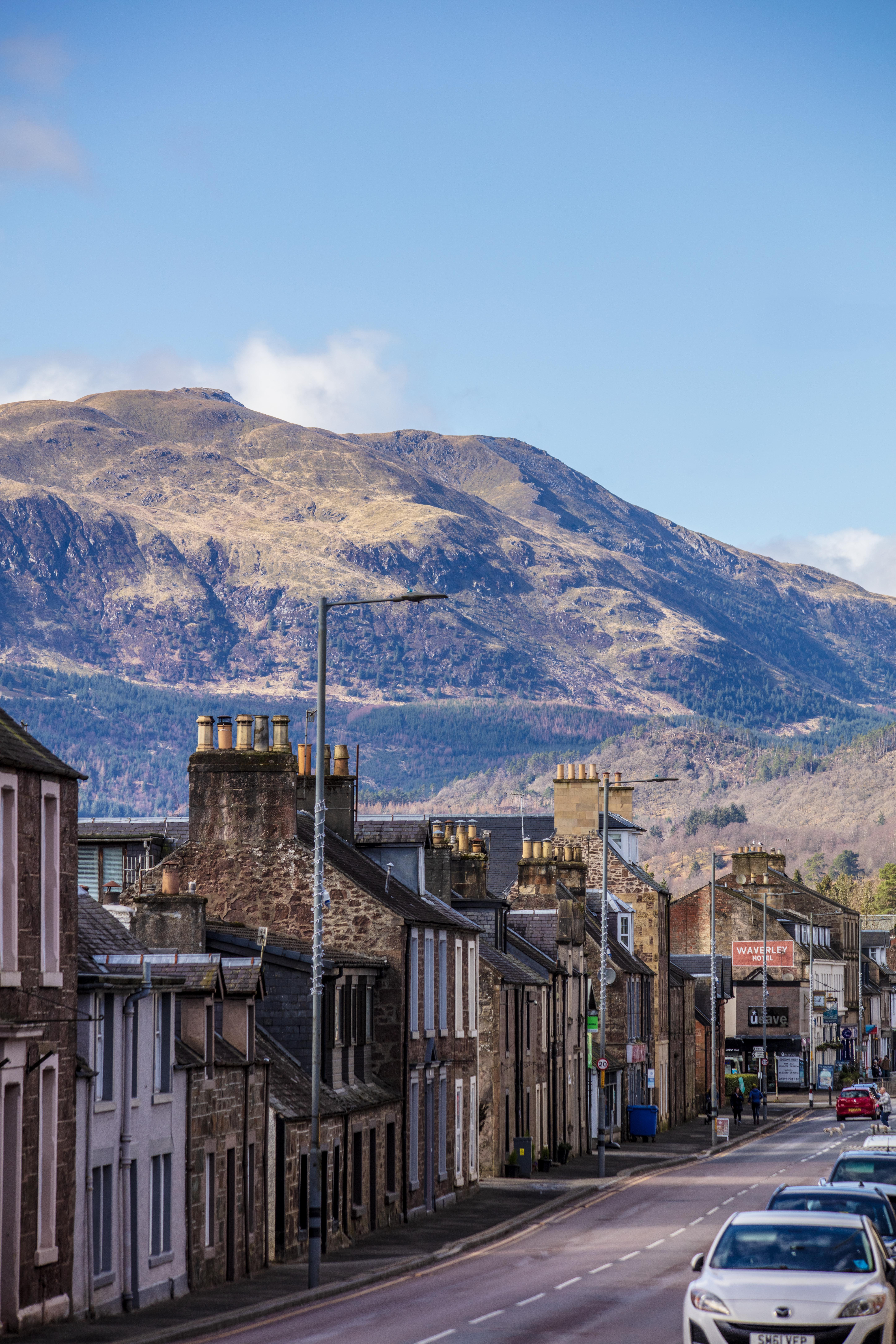
Callander (Image credit: Stephen Kearney)
The Plan will also be a key tool in realising the National Park Partnership Plan’s ambitious vision for a thriving, nature positive and carbon negative National Park by 2045, where communities and businesses prosper sustainably, nature is restored, and land and activities absorb more carbon than they emit.

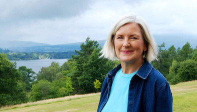
Stuart Mearns, director of place, Loch Lomond & The Trossachs National Park Authority, said: “In Scotland’s first National Park, we can no longer continue to do what we have always done. The climate, nature and housing crises are not separate or isolated, and so the only way to adapt and tackle them effectively now is to work collaboratively to remove barriers, improve efficiencies, and test innovative solutions that deliver for people, nature and rural economies together.
“In a place as rural as Loch Lomond & The Trossachs National Park, how land is used will determine whether we become the thriving, carbon negative and nature positive place that our Partnership Plan vision sets out, which is why we’re bringing land use guidance into the Local Development Plan for the first time, and streamlining our approach to deliver more efficiently for people and place.
“As a National Park Authority, we must use our position and proven ability to not only push for change but demonstrate how it can actually be achieved by testing solutions to complex challenges. Our pilot approach in our new Local Development and Land Use Plan is a prime, tangible example of what this work looks like in practice. We’re confident in the rationale, upfront that there will be unknowns and setbacks, and committed to sharing what we learn with local and national partners.”
Climate action and rural affairs secretary Gillian Martin said: “Our National Parks are thriving places where people live and work. They also have a duty to conserve and enhance the area’s natural and cultural heritage and to respond to the nature, climate and housing crises. This new Local Development and Land Use Plan is a chance to focus on what will benefit the park and its people for a sustainable future.
“Our National Parks are celebrated for being home to some of the most beautiful parts of our country and we need to ensure that nature restoration and climate action are front and centre alongside community priorities. I look forward to seeing how this innovative approach develops and what can be learned to support families, communities, businesses and our precious natural environment.”
Paul Scarse, chair of Strathard Community Council, said: “For us in Strathard, the Framework discussions we’ve worked on previously have shown just how connected everything really is – you can’t look at flooding, housing, or land use in isolation from one another, or from the everyday realities of rural life. Taking a place-based, integrated approach means decisions are made with the whole community and landscape in mind, rather than village by village or issue by issue.
“We hope this way of working delivers a Plan that genuinely reflects how people here live and work, and that it creates better outcomes both for local people and for the wider National Park.”
Sarah Madden, policy advisor for rural communities with Scottish Land & Estates, said: “Scottish Land and Estates welcomes the National Park Authority’s new integrated approach to Local Development Planning and Land Use Planning. It is encouraging to see the initiative being taken to achieve a more joined up approach to policy and delivery.
“Landowners in the National Park are key to delivering national and regional outcomes such as preventing nature loss, stimulating economic growth and attracting and managing sustainable tourism, agriculture and businesses.
“The clarity and certainty that comes from combining land use planning and development planning is hugely welcome and we look forward to continuing to work with Park Authority to bring forward sites and identify areas for sustainable rural development.”
Although the new Plan won’t be finalised until 2028, work is already well underway.
The process is being carried out in stages:
- Jan 2025 – Jan 2026: Evidence gathering. Park Authority staff carried out evidence gathering and stakeholder engagement to produce a robust Evidence Report, which was approved by the Scottish Government.
- Jan 2026 – Nov 2026: Informal (non-statutory) engagement. While not part of the formal statutory process, this transparent communication and meaningful engagement with communities, land managers, agencies, local authorities will strengthen the Plan as it is being drafted. This phase included an informal public Call for Land, Sites and Ideas, inviting suggestions on potential future development, land use and restoration; all site and idea suggestions received have been published on the National Park Authority website. All submissions will be reviewed equally as part of the process and published for transparency; publication does not imply approval, priority, favour or inclusion within the Proposed Plan.
- June 2026 –2027: Proposed Plan preparation stage. The Park Authority is currently developing the Plan’s emerging spatial strategy, the framework setting out where different types of development and land use could be focused across the National Park, drawing on what was learned through the informal engagement process.
- Summer/Autumn 2027: Full public consultation. Once a Proposed Plan is ready and approved by the National Park Authority Board, there will be a full public consultation, which is the main opportunity for communities, stakeholders and individuals to have their say and formally note their comments on the Proposed Plan.
The Plan will then be updated, taking all feedback and previous processes into account, before going through the approval and adoption stages in 2028.
Further information on the new Local Development and Land Use Plan is available via the National Park Authority website.

Share this article:

Subscribe to our newsletter to not miss articles like this one:
 SUBSCRIBE