


SEPA engages innovative modelling techniques to help Scotland better prepare for future flooding
 SEPA is introducing new flood hazard mapping which will provide a clearer indication of surface water (also known as pluvial) flood risk now and in future.
The new mapping will enable people, communities and businesses to better understand the risks and act to reduce the impact of surface water flooding.
The introduction of the new mapping will support delivery of SEPA’s Flooding Services Strategy being published in autumn 2021. It is key to the organisation’s vision of a society that is resilient to flooding and adapted to future climate change.
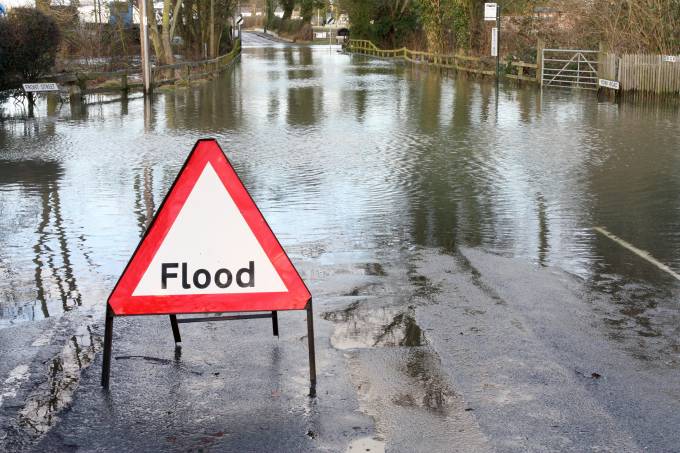
Surface water flood maps have been publicly available on the SEPA website since 2013, however, our 2018 National Flood Risk Assessment identified surface water as the largest source of flood risk affecting Scotland.


The mapping, which will be provided by JBA Consulting, will provide a complete refresh of our national surface water flood maps using the most up-to-date data on current and future rainfall, improving our flood map products to provide more confident results of where surface water flooding is likely.
The project will involve an initial pilot stage which will trial high resolution modelling and mapping methodologies, and a range of model assumptions and parameters across four pilot areas: Aberdeen, Glasgow, Peebles and Torridon. When the pilot stage ends early next year, an agreed approach will be rolled out across Scotland and the mapping will be produced in a sequence of 11 geographical phases.
Vincent Fitzsimons, head of hydrology & flooding at SEPA, said: “The latest landmark climate change report from the IPCC is a clarion call for what the world already knows, that the climate emergency is accelerating. SEPA is urgently responding to ensure Scotland’s communities and businesses are resilient to flooding and adapted to future climate change impacts.
“A major part of this is to ensure information on flood risk is available to those who need it most. This means we need to continually improve the quality and availability of our flood map products, with a particular focus on surface water flood risk.


“Our significant investment in this project to improve surface water flood hazard mapping for Scotland is one step on the journey to ensure people and businesses are resilient to flooding and adapted to our changing environment.”
David Bassett, director, JBA Consulting, added: “We’re delighted to be appointed by SEPA to complete the national surface water flood hazard mapping for Scotland. We have been working on flood risk in Scotland for over 20 years and in that time our technical experts have accrued excellent knowledge of the risk and the issues, and the structures in place to help.
“Scottish Government surface water management planning guidance issued in 2018, highlighted that 23% of annual average damages associated with flooding across Scotland were forecast to come from surface water flooding. Of the 27,500 homes predicted to be at risk, 39% are in areas of higher social vulnerability.
“Climate change was also predicted to increase the numbers of homes and businesses at risk by 45%.
“With flood events never far from the news headlines, recent surface water flooding in Edinburgh showed the vulnerability of many urban areas. The role of consistent 2m grid surface water flood risk mapping across Scotland is more important than ever, and we’re pleased to lead on this national mapping project.”